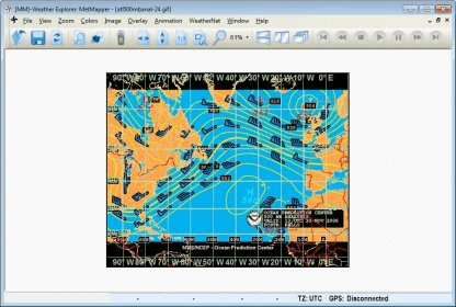
OCENS MetMapper transforms weather maps, satellite images, and ocean charts, into dynamic components of your at-sea decision-making tool box. MetMapper offers to all non-GRIB data what our GRIB Explorer software does for the GRIB data. That is, it will take classical weather data such as weather charts, ocean charts and satellite imagery and render them into interactive elements that carry a map overlay, position vessel and route/waypoint information, display TV-like animations of charts and imagery, window text forecasts alongside your weather chart and enable an array of annotation tools intended to allow the user to more deeply analyze the weather or ocean charts.
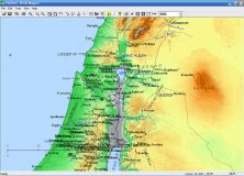
Create your own customized maps of the Holy Land with Bible Mapper Application


Comments